

GeoImageTagger
AI-powered image tagging and geolocation metadata automation
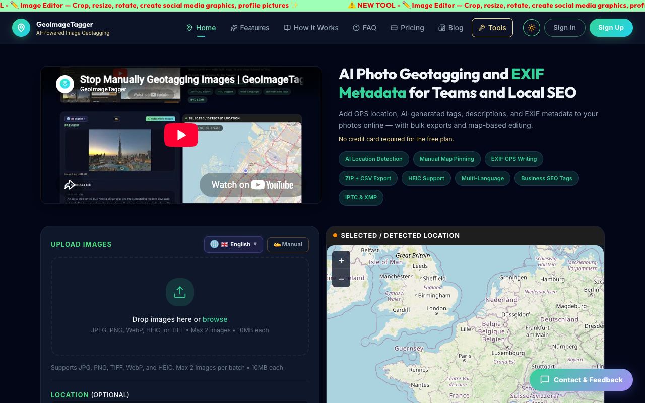
GeoImageTagger streamlines photo library management by automatically enriching images with location data, keywords, and descriptions using AI vision technology. Instead of manually editing EXIF metadata for each image individually, the tool analyzes image content and embeds structured information directly into files.
Highlights
- Automatic location detection powered by AI vision analysis
- Embeds GPS coordinates, keywords, and descriptions into image metadata (EXIF/IPTC/XMP)
- Bulk processing through ZIP uploads and CSV exports for efficient workflows
- Interactive map interface for manual coordinate pinning and verification
- Multi-language tag and description generation across 8+ languages
- Compatible with JPG, PNG, TIFF, WebP, and HEIC image formats
Geared toward photographers needing efficient geotagging of large batches, local SEO teams optimizing Google Business Profile listings, field inspectors documenting job sites, and content agencies organizing location-rich photo archives. Free tier covers 5 daily images, with Pro at $10 monthly for 1,000 images.
Similar tools
See alternatives →
Paragraphica
FreeAI camera that visualizes places through location data and text-to-image synthesis

Removal.AI
FreemiumRemove backgrounds from images instantly with AI

getimg.ai
FreemiumAll-in-one AI studio for images, videos, and audio
Comments(0)
Sign in to comment